


Dr. Danielle Kurin is an anthropological bioarchaeologist and educator with extensive experience studying ancient civilizations, particularly in the Andes. Having taught at the University of California, Santa Barbara since 2013, she has led field research in Peru, directed museum and laboratory initiatives, and published widely on topics such as societal collapse and recovery. Danielle Kurin combines expertise in archaeology, forensics, and cultural heritage to examine how past populations lived and adapted to environmental and social challenges. Her academic background from Vanderbilt University and Bryn Mawr College supports a career that bridges teaching, research, and public engagement, making her well positioned to explain how archaeologists identify promising sites before excavation begins.
How Archaeologists Look for Ancient Sites Before They Dig
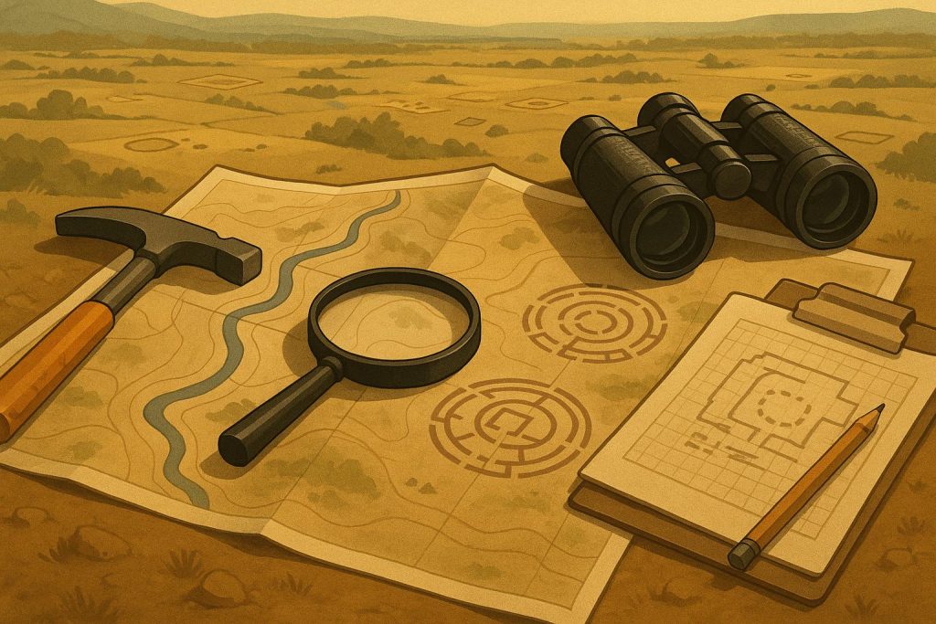
Archaeologists rarely start by opening the ground. Excavation disturbs soil layers and the information inside them, and once a site is disturbed, archaeologists cannot restore it to its original condition. That is why archaeologists use non-invasive methods first and dig only when excavation can answer a clear question.
A common early step is a pedestrian survey, a planned walk across an area to see what lies on the surface. Archaeologists look for artifacts such as pottery fragments or worked stone, and they note surface features that stand out from the surrounding terrain. They map and photograph what they find, and they keep notes so that later decisions rest on recorded observations.
Archaeologists also look for cultural landscape clues, meaning evidence that people shaped the physical environment. Constructed features, including mounds and terraces, can show where past activity concentrated. These larger patterns help archaeologists spot places that deserve closer study and decide where to focus next.
Remote sensing refers to tools that collect information without physical contact. Teams often review satellite images first, then gather more detailed aerial images when a location looks promising. These images can reveal unusual formations that point to past human activity on the land. Researchers check more than one angle before they treat a shape as important.
Some remote sensing tools rely on temperature differences or other forms of imaging instead of ordinary photography. Thermal imaging can reveal surface contrasts that are hard to notice from the ground, especially when conditions change between day and night. At Chaco Canyon, thermal imagery helped researchers identify parts of an ancient road network that had not been clearly documented through earlier survey work.
LiDAR stands for Light Detection and Ranging, and researchers often describe it alongside RADAR, or Radio Detection and Ranging. LiDAR uses laser pulses to measure the shape of the ground from above, which helps archaeologists work where heavy tree cover blocks an ordinary view. It also helps teams study places that are difficult to reach on foot.
To check what may lie below the surface without digging, archaeologists use geophysical surveys. Ground-penetrating radar sends energy pulses into the ground and measures the returning signal, which can suggest whether buried features are present and where they sit. Earth resistance pushes an electrical current through the ground to detect subsurface features and can produce detailed 2- or 3-dimensional images. Electromagnetic induction can also map underground variation by measuring conductivity and magnetic susceptibility.
After gathering evidence from survey, remote sensing, and geophysics, archaeologists compare the results instead of trusting one signal on its own. When several methods point to the same place, archaeologists gain stronger support for follow-up work there. Careful review matters because one pattern can have more than one explanation.
Ground-truthing is the step where archaeologists check an anomaly by examining it directly. Archaeologists excavate a small, mapped unit where surveys suggest a buried feature, then record soil layers and object locations in detail. That targeted digging tests a specific signal while keeping disturbance inside a controlled area.
These methods also help archaeologists work at a larger scale. They help teams narrow where excavation is truly necessary and plan small tests that answer specific questions. That broader view helps archaeologists limit unnecessary disturbance and gives each excavation a clearer purpose from the start.
About Danielle Kurin
Danielle Kurin is an anthropological bioarchaeologist and educator who has taught at the University of California, Santa Barbara since 2013. Her work focuses on ancient Andean civilizations, disaster, and social collapse, supported by extensive field research in Peru. She directs an international research program in Andahuaylas and has contributed to museum development, academic committees, and public outreach. Kurin holds a PhD and MA from Vanderbilt University and a bachelor’s degree from Bryn Mawr College.